
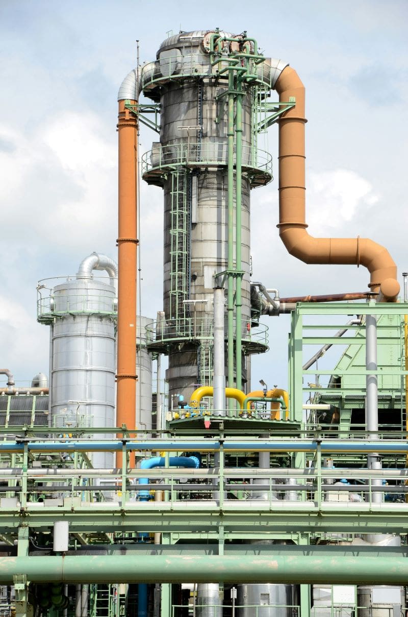
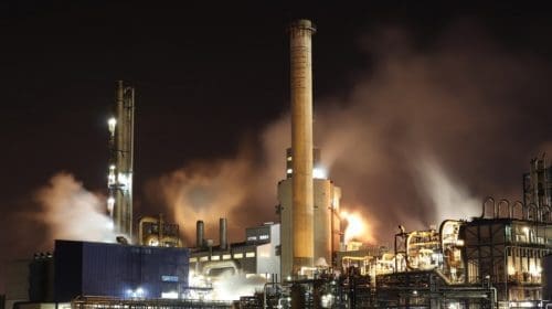
Remote sensing in the oil industry allows people to monitor assets that are often in remote locations. That increased oversight can reduce costs, improve performance and prevent emergencies. Learning about remote sensing techniques can help people understand the options and choose the best for their situations. Whether you already use some remote sensors or are starting from scratch, hearing about different use cases allows envisioning the possibilities.
1. Achieve Better Security With Remote Sensing in the Oil Industry
Industrial assets are frequent criminal targets. Perpetrators often wish to wreak the most havoc possible with their efforts. They know disrupting oil infrastructure could have ripple effects on operations nationwide. Since oil is a common export, problems in one country or area could quickly spread to others and affect everyone who depends on the commodity.
However, it’s not just hackers and long-time vandals pinpointing the oil industry’s assets. Activists target them, too, typically wishing to make statements against fossil fuels. Some recent examples include people collaborating from different oil infrastructure sites around the country and activating aboveground emergency valves that stopped the liquid from flowing through pipelines.
Security is also complicated because nearly 2 million miles of pipelines stretch across the United States. Remote monitoring is one of the only feasible ways to monitor that sprawling infrastructure and intervene when necessary.
Deploying foot patrols along pipeline routes and putting the infrastructure under regular aerial surveillance are some of the most widely used security methods. However, the primary downside with those is that they only show what’s happening during specific moments. Manual processes always have limitations because even the most conscientious people can’t be everywhere at once.
However, remote sensing techniques can collect real-time information from pipeline infrastructure across multiple states or countries, sending it to a dashboard for further analysis. People can be alerted immediately, whether the problem is a suspicious vehicle or known tampering, allowing them to act faster and more confidently.
2. Reduce Oil Spill Impacts With Remote Sensing Techniques
Oil spills can have devastating and long-lasting effects on ecosystems and the environment. However, the faster people know about these problems, the quicker they can take the appropriate actions to mitigate the impacts.
Representatives from NASA are developing sensor technologies that can automate oil spill detection and assess the thickness of the liquid associated with those events. They also aim to partially automate algorithms evaluating offshore damage and debris linked to oil spills.
This application of remote sensing in the oil industry offers ample flexibility to meet numerous needs. For example, an oil company or environmental agency could rely on it to monitor a large area at risk of spills or other accidents. People can also get much more specific with what’s assessed with this method.
Perhaps pipeline technicians know what caused a previous oil spill and want to prevent similar ones. Training machine-learning algorithms with baseline and historical data can help in these cases. The algorithms can learn what constitutes normal operations and flag technicians about anything unusual.
Even once oil spills happen, remote sensing reduces the time required to begin addressing these incidents. Acting more efficiently can minimize the total damage and help people take the correct preventive actions.
3. Eliminate Unnecessary Inspections and Repairs
Landslides and erosion are among the issues often faced by oil infrastructure technicians. Unfortunately, many repairs meant to restore the site after these problems don’t provide permanent or effective fixes. Decision-makers can use remote sensing in the oil industry to understand and plan for hazards before sending people for checks or repairs. Some solutions detect seismic activity that could indicate potential earthquakes. Leaders can incorporate that information into risk assessments.
Remote sensing techniques can further promote safety when people use connected products to get regular status updates about oil infrastructure. The previous approach was to have the assets inspected at recommended intervals. That method caught most issues, but there was always the chance of something going wrong between inspections.
A better option — made possible with sensors — is to move to predictive maintenance. People then protect assets by catching minor issues before they become major catastrophes. For example, corrosion is a significant threat to pipelines, as internal and external surfaces can show signs of it. However, ultrasonic technology offers a noninvasive option for detecting corrosion rates and distribution details.
Since sensors give real-time oil infrastructure statuses, they allow leaders to send technicians to sites only after the data shows definite or suspected problems. Those insights eliminate or greatly reduce instances where specialists check infrastructure and find no issues to resolve. In addition to increasing safety, this option saves time and money.
4. Differentiate Between Underwater Substances
Those monitoring other critical infrastructure outside the oil industry also rely on remote sensing techniques. Such options can alert people to pressure drops indicating leaks in water pipes. Leaders also rely on sensors for grid monitoring, receiving notifications about trends that could cause electrical outages.
One standout characteristic of sensors that applies to the oil industry is that some sensors can help people learn more about different substances underwater. One option recently developed by researchers works up to 1 kilometer under the surface. It’s a compact, lidar-based system that can differentiate between various thicknesses of gasoline or other substances.
Experiments suggest people could use this innovation to detect oil leaks, but other fascinating possibilities include studying seafloor sedimentation. The multipurpose nature of this invention could mean oil industry decision-makers hear of potential leaks even when they don’t yet use sensors. That scenario would mainly occur if scientists monitor the areas around oil infrastructure for other reasons and notice signs of spills during their activities.
Are You Ready to Use Remote Sensing in the Oil Industry?
These are some of the effective and practical ways to apply remote sensing in the oil industry. However, before proceeding with any of these possibilities, you should iron out the primary specifics, such as your budget, the number of sites to monitor and the metrics you’d like to track. Creating goals and a framework for achieving them will enhance the outcomes.

Emily Newton is the Editor-in-Chief of Revolutionized, an online magazine discussing the latest industry innovations and trends.
- Emily Newtonhttps://oilmanmagazine.com/author/emily-newton/

- Emily Newtonhttps://oilmanmagazine.com/author/emily-newton/

- Emily Newtonhttps://oilmanmagazine.com/author/emily-newton/
- Emily Newtonhttps://oilmanmagazine.com/author/emily-newton/

- Emily Newtonhttps://oilmanmagazine.com/author/emily-newton/
- Emily Newtonhttps://oilmanmagazine.com/author/emily-newton/
- Emily Newtonhttps://oilmanmagazine.com/author/emily-newton/
- Emily Newtonhttps://oilmanmagazine.com/author/emily-newton/

Oil and gas operations are commonly found in remote locations far from company headquarters. Now, it's possible to monitor pump operations, collate and analyze seismic data, and track employees around the world from almost anywhere. Whether employees are in the office or in the field, the internet and related applications enable a greater multidirectional flow of information – and control – than ever before.